Our subsurface exploration campaigns
A detailed understanding of the subsurface is an essential step in any geothermal heat and lithium production project. That’s why, since 2022, Lithium de France has been conducting exploration campaigns drawing on the finest technical and scientific expertise. With a total area of 750 km² explored and an investment of over €12 million, Lithium de France, a subsidiary of Arverne, stands out as the French operator to have explored such a large area.
The production of geothermal heat and lithium relies on a detailed understanding of the subsurface. Located several thousand metres below the surface, these resources are neither visible nor directly accessible.
Our campaigns aim to identify and characterise these resources: they begin with an in-depth study of available historical data, followed by 2D and 3D exploration to determine the structure of the subsurface with a high degree of accuracy.
Why do we carry out subsurface exploration campaigns?
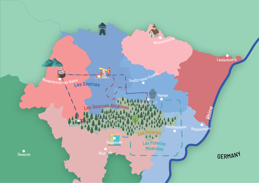
Where do our campaigns take place?
Lithium de France holds Exclusive Exploration Licences (PER) issued by the French government. These licences authorise the company to explore specific geographical areas in order to gain a better understanding of the subsurface and identify geothermal heat and lithium resources.
Each PER covers a defined area on which we focus our exploration campaigns.
Methods of subsurface exploration
These investigations now rely on geophysical methods, developed to obtain more accurate and reliable data. To achieve this, a number of complementary methods are employed.
Acoustic wave-emitting trucks are fitted with a plate which, when in contact with the ground, emits acoustic waves into the subsurface. These waves are recorded further away by sensors known as geophones. Analysing these signals makes it possible to reconstruct a detailed image of the various underground layers and to gain a better understanding of the structure of the subsurface.
The airborne method involves flying over an area in an aircraft equipped with instruments capable of measuring very slight natural variations in the Earth’s magnetic and gravitational fields. These measurements make it possible to identify differences in density and the nature of the rocks in the subsurface. This data supplements existing information and helps to refine our understanding of the subsurface.
By combining these geophysical methods, it is possible to obtain a more accurate and consistent picture of the subsurface. Each method provides complementary information on the structure, composition and properties of the rocks. This helps to improve the quality of geological models and to assess a region’s geothermal potential more effectively.
A multidisciplinary team of dedicated experts
To carry out these underground exploration programmes, around fifteen experts from our subsurface department work throughout the year on preparing and coordinating the programmes and interpreting the data collected.
Geologist
Geologists are involved in the phase of defining the exploration area, based on an analysis of existing geological data. They are also involved in interpreting the subsurface image obtained from exploration campaigns, taking into account the geological history of the area under study.
Geomatics
As a specialist in spatial data management, the geomatics expert is involved throughout the exploration process: from assisting in the definition of study areas through to the synthesis of results and their integration into a database, thereby facilitating decision-making and ensuring the flow of information between the various disciplines.
Geomechanical
Geomechanical engineers are involved in modelling the properties of the subsurface based on the analysis of the data collected.
Geophysicist
Geophysicists are involved in various stages of subsurface exploration, from design through to the processing of acquired data, with the aim of producing a detailed image of the subsurface.
Photo credits: Lithium de France.